AutoCAD for Urban Planning: Visualizing and Analyzing City Development
- 4 min read
- July 31, 2023
AutoCAD plays a crucial role in urban planning by providing a comprehensive set of tools and features that aid in the design, analysis, and visualization of urban environments. With its wide array of capabilities, AutoCAD has become an indispensable tool for urban planners, enabling them to create, assess, and communicate complex urban designs effectively. We have listed out the possible ways AutoCAD can contribute to urban planning:

Site Analysis and Evaluation
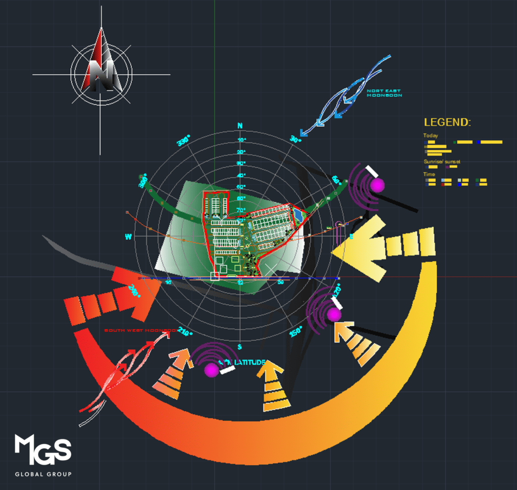
AutoCAD allows urban planners to import site maps, survey data, and aerial imagery to create accurate digital representations of the existing urban context. This helps in analyzing topography, land use patterns, infrastructure networks, and other spatial characteristics essential for informed decision-making.

Master Planning and Design
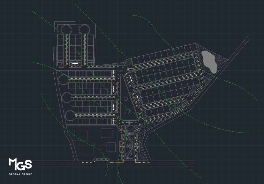
AutoCAD facilitates the creation of detailed master plans, site layouts, and zoning maps. Planners can use AutoCAD’s drafting and modeling capabilities to design roads, pedestrian pathways, green spaces, and building footprints, ensuring efficient land use and optimal connectivity within the urban fabric.

Visualization and 3D Modeling
AutoCAD’s 3D modeling capabilities enable urban planners to create virtual representations of proposed developments. This allows stakeholders to visualize the impact of new structures, streetscapes, and public spaces in the context of the existing environment. It helps in assessing the aesthetics, scale, and overall impact of urban interventions.
Data Analysis and Simulation
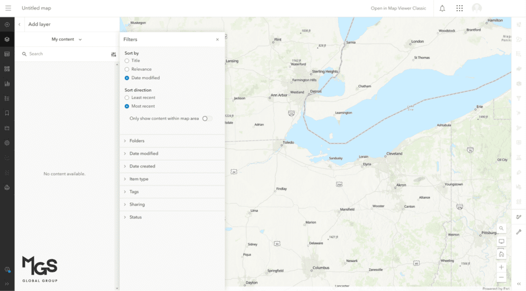
AutoCAD can integrate with geographic information systems (GIS) and other analysis tools, enabling planners to perform spatial analysis, generate population density maps, assess transportation patterns, simulate traffic flow, and evaluate environmental impacts. This data-driven approach helps in making informed decisions and predicting the outcomes of urban development projects.

Collaboration and Documentation
AutoCAD provides a platform for collaborative work, allowing multiple stakeholders to work on the same project simultaneously. It facilitates the exchange of design information, feedback, and revisions, enhancing coordination between planners, architects, engineers, and other professionals involved in the urban planning process. AutoCAD’s documentation features also help in generating accurate drawings, reports, and construction documents.
AutoCAD’s tools and features enhance urban planning by enabling site analysis, master planning, visualization, data analysis, collaboration, and documentation. It empowers planners to create complex designs, evaluate scenarios, and communicate effectively for sustainable development.
Was this insightful? Give a thumbs up or post a comment.
For more of our blogs, check out https://mgsglobalgroup.com/blog/.

Connect with us!


